
Command Palette
Search for a command to run...
Mars26
An open-source, high-resolution map of Mars built from satellite photography with complete global coverage
verified Jul 13, 2026 · HTTP 200
CohortClass of 2026What it is
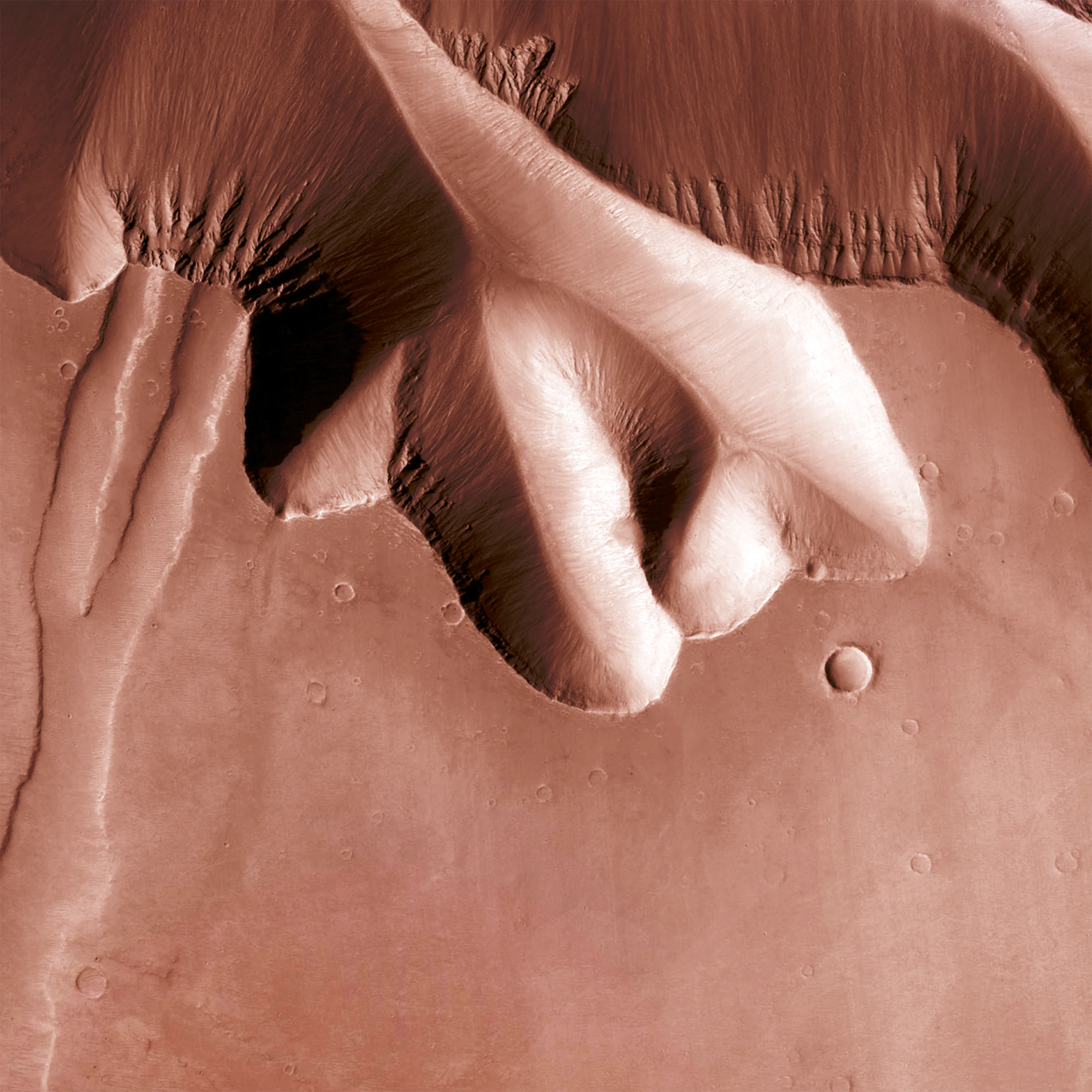
An open-source, high-resolution map of Mars built from satellite photography with complete global coverage. Users can zoom, explore, and interact with the Martian surface through an intuitive web interface. The platform combines historical CTX and Viking satellite data into a seamless, explorable map for space enthusiasts and researchers.
HTTP liveness
11 probes since May 23May 23Jul 13
AliveHard-dead (404/5xx/parked)RedirectedUnverified (timeout/DNS/block)
Observed events
probes · press · GitHub- Jul 4, 2026Back onlineAlive · 200 OK
- Jun 24, 2026Went darkDead · 404
- Jun 21, 2026Probe inconclusiveTimeout
- Jun 13, 2026Went darkDead · 404
- May 23, 2026First probe — liveAlive · 200 OK
Discussion 0 comments
No comments yet. Be the first!
Pulse Indexobserved activity
11 probes0 pressGitHub –Tranco –
Not enough observed signals for a Pulse Index (needs 2+ signal families).
Cohort survival · Class of 2026weekly
567 products launched in 2026 · 100% still active
567 active0 sunset
Still active
100%
Median lifespan
4.9y